Methods
Data Collection
112 sites in the Yellowhead Bear Management Area (Figure 1) were monitored using autonomous recording units (ARUs) from May 10-July 19, 2017 , encompassing both the migration period which, we defined from May 10-June 9, and the breeding period which is defined by DeSante as beginning June 10 (2015).

Figure 1. Yellowhead Bear Management Area. Distribution of survey sites. Blue sites indicate grizzly bear use sites; red sites indicate non-grizzly bear use sites paired with the blue sites.
Map provided by the Foothills Research Institute.
Half of all sites were locations used by GPS collared bears in 2016 or 2017 (data provided by the Foothills Research Institute). Use was defined as activities such as foraging, bedding, kill sites, or burial sites. The unique ID and the sex of each collared bear were also provided. The remaining 56 sites were randomly generated points paired with each known site. These sites were generated between 500 and 3000 m from their bear site. Sites were 15 m in radius, centred around the generated or known GPS point. All sites were evaluated for dominant vegetation type (vegetation comprising 50% or more) within this radius, using a classification system by Nijland et al (2015). Three minute recordings from paired sites occurred at the same time and same day during the study period at dawn in order to evaluate bird species and individual presence at each site. Recordings were analyzed aurally and visually using the software Audacity (Figure 4).
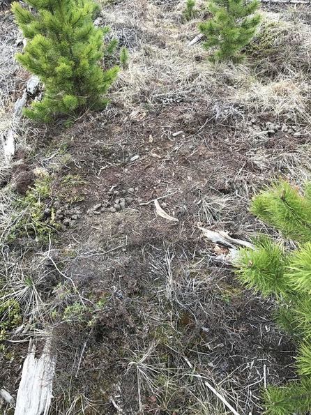
Figure 2. A bear bed. This is an example of a sign of bear activity that could be found at a site - even a year after the site was first evaluated by FRI.
|
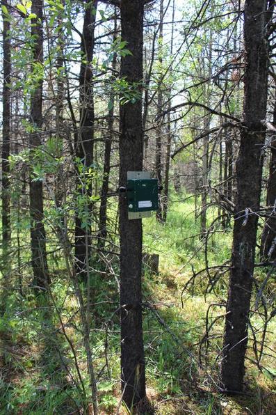
Figure 3. An example of an ARU setup at a site.
|
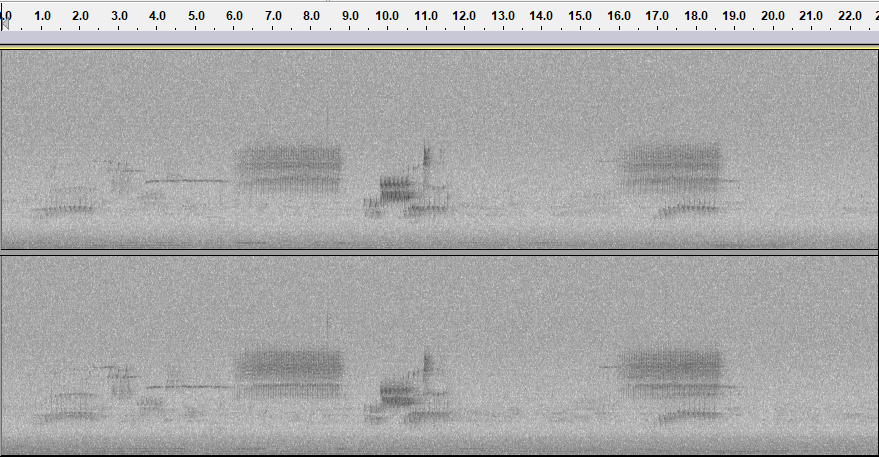
Figure 4. An example of a section of a spectrogram produced by an autonomous recording unit and visualized in Audacity.
|
References:
DeSante D.F., Burton, K.M., Velez, P., Froelich, D., Kaschube, D., and Albert, S. (2015). MAPS Manual 2015 Protocol. Retrieved from http://www.birdpop.org/docs/pubs/DeSante_et_al_MAPS_Manual_2015.pdf
Nijland, W., Coops, N.C., Nielsen, S.E., Stenhouse, G. (2015). Integrating optical satellite data and airborne laser scanning in habitat classification for wildlife management. International Journal of Applied Earth Observation and Geoinformation, 38, 242-250.
